Download PDF
- Main objective to unlock the value of the Chibougamau Mining Camp historical deposits
- TomaGold receives conditional approval from the TSX Venture Exchange for these transactions
Montreal, Québec, September 13, 2023 ‒ TOMAGOLD CORPORATION (TSXV: LOT) (OTCQB: TOGOF) (“TomaGold” or the “Corporation”) is pleased to provide further details to the previous release dated August 14, 2023 regarding the properties being acquired pursuant to the agreements signed with SOQUEM Inc. (“SOQUEM”), Chibougamau Independent Mines Inc. (TSXV: CBG) (“CIM”) and Globex Mining Enterprises Inc. (TSX: GMX) (“Globex”), which include a total of 20 mining properties that currently form the majority of the Chibougamau Mining Camp, in Québec, Canada (the “Properties”).
As previously disclosed, in order to acquire the Properties, the Corporation has committed to make global cash payments of $13,805,000, work commitments of $10,425,000, issue 16,625,000 common shares of TomaGold and issue an additional amount of $1,825,000 in common shares of TomaGold over a period of 2 to 5 years in accordance with the specific agreements. Upon signing, TomaGold will be required to make cash payments of $540,000, issue 6,625,000 common shares of TomaGold and issue an additional amount of $25,000 in common shares of TomaGold. TomaGold is currently in advanced discussions with potential financial and mining partners to finance the acquisition, exploration and development of these projects. A summary of the most significant agreements as well as a description of the most significant properties is included below.
David Grondin, President and CEO of TomaGold, stated: “We are thrilled to have received conditional regulatory approval for these property acquisitions, which we believe have the potential to transform TomaGold’s profile going forward. This release also allows us to share with our shareholders and potential investors the most relevant technical information on the most significant properties being acquired, while highlighting their exploration potential. As mentioned in our previous press release, our intention is to further consolidate the Chibougamau Mining Camp, which will allow us to unlock its exploration potential and develop the camp more efficiently.”
SUMMARY OF 100% EARN-IN AGREEMENT
| Chibougamau Independent Mines Inc. West Block Properties Option to acquire a 100% interest in the Berrigan Mine (Au-Ag-Zn), Berrigan South (Au-Zn), Lac Antoinette (Zn-Au-Ag), Lac Elaine (Zn-Au-Ag) and Gwillim (Au-Cu) properties. |
|
Cash |
Work req. |
Shares (#) |
Shares ($) |
| Effective date |
$ 300,000 |
|
6,000,000 |
|
| Year 1 |
$ 50,000 |
$ 600,000 |
|
$ 150,000 |
| Year 2 |
$ 300,000 |
$ 800,000 |
|
$ 200,000 |
| Year 3 |
$ 500,000 |
$ 1,200,000 |
|
$ 300,000 |
| Year 4 |
$ 750,000 |
$ 1,500,000 |
|
$ 350,000 |
| Year 5 |
$ 750,000 |
$ 1,500,000 |
|
$ 350,000 |
| TOTAL |
$ 2,650,000 |
$ 5,600,000 |
6,000,000 |
$ 1,350,000 |
The five West Block Properties cover the northwest corner of the Chibougamau mining camp and provide continuity between the west and north blocks of claims being acquired from SOQUEM.
BERRIGAN MINE PROPERTY
The Berrigan Mine property consists of 16 claims totalling 483 hectares located 4 km north-northwest of the town of Chibougamau. All claims are in good standing, with expiry dates of April 28, 2025.
Two historic NI 43-101 Technical Reports have been reviewed and used to write the following sections on the Berrigan and Berrigan South Properties.
- Carrier, A. (2022). NI 43-101 Technical Report for the Berrigan Mine Property, Chibougamau, Quebec, Canada. Val-d’Or: InnovExplo.
- Larouche, C. (2012). Technical Review (NI 43-101 Compliant) & Evaluation of the Exploration Potential on the Berrigan Gold-Zinc-Silver Project, Chibougamau, QC: Chibougamau Independent Mines.
Geological information was taken from both these reports along with recent exploration results taken from relevant CIM news releases detailed below. The Corporation has not verified the technical data taken from these sources but views the information as relevant and reliable. The Corporation plans to complete a full evaluation of all of the properties being acquired and prioritize exploration to follow up on significant historic results.
Geological setting and mineralization
The property is located within the Archean Abitibi Subprovince of the southern Superior Province in the Canadian Shield. The property provides the Corporation with a strategic land position in the Chibougamau mining camp in the northwestern part of the Abitibi greenstone belt. The property potential is supported by favourable geological and structural setting and the presence of well-documented metallogenic and litho-tectonic elements such as the layered mafic-ultramafic sills of the Cummings Complex, felsic volcanic and volcanoclastic rocks of the Blondeau Formation, and other structures and alterations.
Six priority polymetallic mineral occurrences have been identified on the Berrigan Property; the Main Zone (Zn-Au-Ag ±Pb), South Zone (Zn-Ag ±Au), East Zone (Zn-Ag ±Au), Morrison (Cu-Zn), Wedge (Cu-Zn) and Berrigan-Sud (Ag).
The genesis of the polymetallic mineralization on the property has been described as either VMS or epithermal; however, the presence of both types or a hybrid model may be needed to explain the different styles of documented mineralization. Regardless of the origin of the sulphides on the property, the primary control on mineralization appears to be structural.
The mineralization consists of dissemination, stringers and breccia. Within the breccia, silicified fragments of wall rock are surrounded by quartz-calcite and sulphide and are locally cut by later quartz stringers. The orientation of the fractures is quite variable within the deformation corridor cross-cutting the mafic – ultramafic intrusion (Roberge Sill) and the volcaniclastic rocks of the Blondeau Formation.
Exploration
The initial showing was discovered in 1929 and the property has been explored by a variety of companies since.
Significant exploration since CIM acquired the property in 2013 includes IP and Mag geophysical surveys in 2013, surface mapping and channel sampling in 2017 and drilling in 2013, 2016 and 2022.
Surface mapping and channel sampling focused on three zones, the East, South and Main Zone.
The East Zone was mapped to a 1:50 scale. The outcrop is comprised of a semi-massive mineralized horizon (sphalerite-pyrite-pyrrhotite-galena) with an average width of 1.5 m in a serpentinized-carbonatized-pyroxenite, containing fair amounts of pyrite-pyrrhotite and sphalerite within the sheared areas. This mineralized horizon is dislocated in metric blocks along a shear corridor oriented N 250-260° and dipping 60 to 70° N. The mineralized horizon as well as the shear zone were sampled and a total of 15 samples were collected.
On the South Berrigan showing, several historic trenches were excavated on mineralized shears on the northern edge of Berrigan Lake. These trenches were mapped and 10 samples were collected. The type of mineralization is identical to the one observed on the Eastern Zone, disseminated to semi-massive pyrrhotite-pyrite-chalcopyrite-galena within shear zones oriented N070-N080° to N040°.
The East and South showings are embodied within ENE-WSW shear zones located in a corridor exhibiting an average width of 60 m and a lateral extension of at least 750 m. Within this corridor, several mineralized showings are exposed by historical trenches.
On the Main zone, geological and structural mapping has confirmed that most of the outcrops consist of pyroxenite and dunite belonging to the Roberge Sill. The pyroxenite is massive, medium-grained and either not magnetic or only slightly so, whereas dunite is finer-grained, strongly magnetic and occasionally displays primary bedding parallel to its contacts. A mafic volcanic unit occupies the northern and northeastern parts of the mapped area. This unit is associated with sulphide-rich exhalites (pyrite, pyrrhotite and sphalerite with traces of chalcopyrite). Mineralized zones not associated with exhalites are generally associated with shear zones having two preferential directions: NNE (N020° to N040°) and NNW (N330° to N340°). Sampling and assaying of 44 channel samples confirmed the polymetallic exploration potential of the mineralization on the Berrigan Main Zone.
On September 6, 2017 and October 2, 2017, CIM issued two press releases indicating results of channel sampling on the Berrigan Mine property, with significant results below:
Table 3 – Select Trenching results on Berrigan Mine South, East and Main Zones
Main
| Sample |
UTM E |
UTM N |
Length (m) |
Au (g/t) |
Ag (g/t) |
Cu (ppm) |
Zn (%) |
Pb (%) |
| E25051 |
542,520 |
5,532,591 |
0.60 |
1.37 |
6.20 |
1 737 |
5.97 |
0.20 |
| E25055 |
542,516 |
5,532,581 |
0.75 |
4.05 |
6.50 |
212 |
3.64 |
0.06 |
| E25060 |
542,511 |
5,532,544 |
1.30 |
5.25 |
107.80 |
893 |
6.84 |
10.05 |
| E25061 |
542,514 |
5,532,542 |
0.70 |
5.86 |
119.00 |
454 |
10.98 |
9.34 |
| E25063 |
542,515 |
5,532,515 |
0.90 |
1.58 |
48.50 |
417 |
3.77 |
3.83 |
| E25066 |
542,514 |
5,532,510 |
0.95 |
0.36 |
19.40 |
327 |
2.16 |
1.56 |
| E25068 |
542,523 |
5,532,500 |
0.55 |
2.13 |
43.40 |
433 |
5.23 |
3.59 |
| E25069 |
542,531 |
5,532,516 |
0.85 |
0.56 |
24.80 |
604 |
5.99 |
2.16 |
| E25070 |
542,523 |
5,532,515 |
1.10 |
19.71 |
289.20 |
7 162 |
16.79 |
17.75 |
| E25071 |
542,516 |
5,532,516 |
0.85 |
0.54 |
58.80 |
1 433 |
3.13 |
4.31 |
| E25072 |
542,527 |
5,532,526 |
0.80 |
2.26 |
10.50 |
413 |
5.74 |
0.45 |
| E25081 |
542,542 |
5,532,537 |
0.45 |
0.29 |
1.30 |
313 |
11.41 |
0.02 |
| South* |
|
|
|
|
|
|
|
|
| Sample |
UTM E |
UTM N |
Length (m) |
Au(ppb) |
Ag (g/t) |
Cu (ppm) |
Zn (%) |
Pb (ppm) |
| E25017 |
542,725 |
5,532,358 |
grab |
730 |
2 |
709 |
8.24 |
57 |
| E25019 |
542,703 |
5,532,359 |
grab |
201 |
3.1 |
1,167 |
0.63 |
33 |
| E25020 |
542,703 |
5,532,359 |
grab |
1,133 |
2.1 |
836 |
3.55 |
28 |
| E25025 |
542,759 |
5,532,398 |
grab |
330 |
1.8 |
308 |
4.61 |
47 |
| East* |
|
|
|
|
|
|
|
|
| Sample |
UTM E |
UTM N |
Length (m) |
Au(ppb) |
Ag (g/t) |
Cu (ppm) |
Zn (%) |
Pb (%) |
| E25002 |
542,730 |
5,532,486 |
grab |
163 |
3.6 |
569 |
4.56 |
0.01 |
| E25003 |
543,116 |
5,532,346 |
grab |
360 |
144.6 |
357 |
3.00 |
0.11 |
| E25006 |
543,122 |
5,532,346 |
grab |
254 |
4.8 |
150 |
4.23 |
0.06 |
| E25010 |
543,193 |
5,532,356 |
grab |
8,172 |
20.1 |
592 |
7.10 |
0.15 |
* The Corporation cautions that grab samples are selective by nature and may not be representative of the mineralization on the property.
Historic drilling includes 306 DDH for 41,288 m completed by seven different companies between 1950 and 2022. Significant results from the 306 holes are listed in the table below.
Table 4 – Select intersections from historic drilling on the Berrigan Property**
| Company |
Drill hole |
From (m) |
To (m) |
Interval (m) |
Au (g/t) |
Ag (g/t) |
Zn (%) |
| Taché Lake Mines |
A-005 |
131.4 |
140.2 |
8.8 |
6.96 |
|
5.70 |
| 1951-1968 |
A-016 |
18.9 |
21.2 |
2.3 |
6.43 |
|
1.51 |
|
|
76.2 |
77.7 |
1.5 |
8.91 |
|
3.45 |
|
A-061 |
107.1 |
115.7 |
8.6 |
8.14 |
39.70 |
6.15 |
|
A-063 |
113.7 |
114.3 |
0.6 |
49.23 |
404.64 |
17.55 |
|
|
129.4 |
132.8 |
3.4 |
8.88 |
68.16 |
8.86 |
|
A-065 |
121.6 |
125.7 |
4.6 |
6.08 |
21.56 |
7.67 |
|
|
164.7 |
167.2 |
2.5 |
6.95 |
15.44 |
3.13 |
|
A-066 |
100.6 |
101.8 |
1.2 |
36.65 |
39.73 |
22.90 |
|
|
159.8 |
168.8 |
9.0 |
5.19 |
19.60 |
6.26 |
|
A-067 |
157.1 |
158.2 |
1.1 |
10.96 |
|
16.75 |
|
A-073 |
144.8 |
145.1 |
0.3 |
32.88 |
|
27.90 |
|
A-084 |
130.3 |
142.8 |
12.5 |
5.10 |
17.18 |
4.58 |
|
A-086 |
50.9 |
52.1 |
1.2 |
15.07 |
59.60 |
7.00 |
|
A-103 |
56.4 |
59.4 |
3.0 |
11.61 |
|
5.84 |
| Canadian Merril |
U-02 |
44.9 |
45.6 |
0.7 |
17.81 |
89.74 |
2.95 |
| 1969 |
U-02 |
90.4 |
91.4 |
1.0 |
26.72 |
58.91 |
13.80 |
|
U-03 |
8.2 |
16.6 |
8.4 |
6.98 |
20.71 |
13.09 |
|
U-04 |
85.9 |
86.6 |
0.7 |
37.68 |
78.09 |
7.05 |
| Bitech Corporation |
TA-87-27 |
31.1 |
32.3 |
1.2 |
17.98 |
37.33 |
5.60 |
| 1987-1990 |
TA-90-50 |
65.5 |
70.1 |
4.6 |
6.78 |
10.12 |
4.12 |
|
TA-90-50 |
114.0 |
129.5 |
15.5 |
8.05 |
23.58 |
6.57 |
|
TA-90-52 |
201.2 |
203.3 |
2.1 |
5.70 |
11.60 |
5.21 |
|
TA-90-56 |
164.4 |
166.9 |
2.5 |
6.18 |
|
5.23 |
| Chibougamau |
BT-13-001 |
75.60 |
78.40 |
2.80 |
7.25 |
25.10 |
7.11 |
| Independent Mines |
BT-13-001 |
105.00 |
111.50 |
6.50 |
2.39 |
13.70 |
1.72 |
| 2013-2022 |
BT-13-003 |
76.80 |
77.70 |
0.90 |
16.94 |
48.00 |
9.50 |
|
BT-13-003 |
141.50 |
144.80 |
3.30 |
2.28 |
20.30 |
4.43 |
|
BT-13-003 |
156.50 |
158.80 |
2.30 |
2.81 |
4.00 |
2.31 |
|
BT-13-003 |
196.40 |
197.60 |
1.20 |
4.97 |
6.00 |
1.36 |
|
BT-13-004 |
111.90 |
113.90 |
2.00 |
2.76 |
12.00 |
2.74 |
|
BT-13-004 |
133.80 |
135.00 |
1.20 |
5.92 |
20.00 |
4.20 |
|
BT-13-005 |
128.20 |
129.60 |
1.40 |
13.87 |
74.00 |
4.14 |
|
BT-13-005 |
143.50 |
144.90 |
1.40 |
2.73 |
21.70 |
3.60 |
|
BT-13-005 |
145.40 |
148.20 |
2.80 |
3.02 |
21.40 |
3.39 |
|
BT-13-005 |
153.80 |
157.30 |
3.50 |
8.12 |
44.30 |
9.15 |
|
BT-13-005 |
168.90 |
175.70 |
6.80 |
2.03 |
25.70 |
3.66 |
|
BT-13-007 |
147.00 |
154.00 |
7.00 |
2.82 |
20.80 |
4.55 |
|
BT-13-007 |
182.30 |
195.40 |
13.10 |
2.00 |
35.10 |
3.32 |
|
BT-13-008 |
152.10 |
154.60 |
2.50 |
3.72 |
16.20 |
3.14 |
|
BT‐16‐010 |
181.00 |
185.00 |
4.00 |
2.18 |
5.06 |
1.47 |
|
BT‐16‐012 |
129.92 |
134.30 |
4.38 |
6.90 |
12.09 |
2.99 |
|
BT‐16‐013 |
61.88 |
65.83 |
3.65 |
1.45 |
17.90 |
4.11 |
|
BT‐16‐013 |
79.22 |
85.00 |
5.78 |
2.03 |
8.71 |
3.50 |
|
BT-22-015 |
135.7 |
154.3 |
18.6 |
1.15 |
7.92 |
2.32 |
|
BT-22-015 |
180.6 |
203.5 |
22.9 |
2.02 |
22.46 |
2.19 |
**The true width of these intersections is unknown.
The property has been the subject of more than one historical estimate. Met-Chem Canada Inc. prepared the most recent of these in April 2001 in a report titled, Pre-feasibility study: Etude Conceptuelle, Projects Berrigan and Tortigny by Chuinard et al. In the report, a resource estimate completed using polygonal estimation techniques stated 1,388,915 tonnes of material grading 3.17% Zn and 1.77 g/t Au on the main Berrigan Mine zone. No resource classifications were given for the resource (GM61359).
The mineral resource estimate above is historical and was not completed to NI 43-101 standards. The QP has not completed sufficient work to classify it as current. Significant data compilation, re-drilling, re-sampling and data verification may be required by a qualified person before the historical estimate on the Project can be classified as a current resource. The Corporation is not treating this as a current mineral resource.
BERRIGAN SOUTH PROPERTY
The Berrigan South property is comprised of 23 claims covering 1,134 hectares contiguous and south of the Berrigan Mine claims. All claims are in good standing, with expiry dates of April 28, 2025.
The Berrigan South mineralization is located about 200 m SE of the Main Berrigan deposit and shows similar geologic, structural and geometric complexities as the Main Zone and is generally thought to represent VMS style mineralization (pyrrhotite, sphalerite, chalcopyrite, galena) remobilized within an EW fault structure. Historic exploration has consisted predominantly of diamond drilling, including 28 drill holes completed by five different companies between 1963 and 1975, and geological mapping and sampling. (Michel Leblanc, 2013)
LAC ANTOINETTE and LAC ELAINE PROPERTIES
The Lac Antoinette property consists of 11 claims totalling 436 hectares. All claims are in good standing, with expiry dates of April 28, 2025 to June 20, 2025.
The Lac Elaine property consists of 27 claims totalling 1,238 hectares. All claims are in good standing, with expiry dates of January 20, 2025 to May 17, 2026.
Together the Lac Antoinette and Lac Elaine claims cover the westward extension of the geological rock unit in which the Berrigan Zn, Au, Ag deposit is found. Numerous strong conductive zones have been indicated on the claims by airborne geophysical surveys.
Late in the summer 2021, shoreline prospecting and mapping were completed at the Lac Antoinette and Lac Elaine properties. Anomalous copper values were reported in six grab samples on the two properties. During the summer of 2022, prospecting and sampling was performed over the property. The worked performed included beep-mat geophysics, reconnaissance mapping, sampling for base metal, gold and silver, as well as sampling a number of rocks for whole rock geochemistry. (CIM Internal Memo)
GWILLIM PROPERTY
The Gwillim property consists of 24 claims totalling 1,264 hectares in Barlow and McKenzie townships, and surrounds Globex Mining Enterprises’ Lac Gwillim property, which is also the subject of an acquisition agreement between TomaGold and Globex. All claims are in good standing, with expiry dates of January 7, 2025 to December 16, 2025.
The property covers approximately 4.5 km of the Lac Gwillim shear zone. It comprises three gold-bearing vein showing; Wright-Hargreaves Gwillim, Lac Gignac-East and the Barlow McKenzie-West, a gold, copper and zinc showing. Exploration on the property started in 1950 on what is now the Wright-Hargreaves showing when an area was stripped and sampled. Since then, sporadic exploration programs were completed by a variety of companies between 1950 and 1984 including 14 short drill holes with limited sampling. Recent exploration has included airborne geophysics and during the summer of 2022, prospecting and sampling. (Amrhar, 2023)
SUMMARY OF ASSET PURCHASE AGREEMENT
| Chibougamau Independent Mines Inc. East Block PropertiesAcquisition of a 100% interest in the Kokko Creek (Au-Cu), Quebec Chibougamau GoldFields (Au-Ag-Cu), Copper Cliff Extension (Au-Cu), Grandroy (Au-Cu), Tommy Zones (Au-Cu), Bateman Bay (Au-Cu-Ag) and Virginia Option (Cu) properties. |
|
Cash |
Shares (#) |
| Exclusivity (6 months) |
$ 200,000 |
|
| Effective date |
$ 4,800,000 |
10,000,000 |
| Year 1 |
$ 3,000,000 |
|
| Year 2 |
$ 3,000,000 |
|
| TOTAL |
$ 11,000,000 |
10,000,000 |
The seven East Block Properties cover portions of the east portion of the Chibougamau mining camp and contain the historic Grandroy, S-3, Goldfields, Kokko Creek, Bateman Bay Mines and parts of the historic Copper Cliff and Jaculet Mines. Aside from the seven historic mines on the properties being acquired, the properties are also adjacent to a further 14 historic mines.
Geological and exploration history for the East Block Properties, including historic production was taken from a report titled Technical Review and Evaluation of the Exploration Potential of the Lac Chibougamau Mining Properties in McKenzie, Roy, Obalski and Lemoine Townships, written by Claude Larouche in August 2012 for CIM. Recent exploration results were taken from relevant CIM news releases detailed below. The Corporation has not verified the technical data taken from these sources but views the information as relevant and reliable. The Corporation plans to complete a full evaluation of all of the properties being acquired and prioritize future exploration to follow up on significant historic results.
KOKKO CREEK PROPERTY
The Kokko Creek property consists of seven claims totalling 190 hectares, which lies on the north shore of Doré Lake between the Quebec Chibougamau GoldFields and Virginia Option properties. All claims are in good standing, with expiry dates of September 5, 2026 to October 28, 2026.
The Kokko Creek showing was first discovered in 1906 and explored by a variety of groups until 1958 when Campbell Chibougamau Mines sunk a vertical shaft to 593 feet. Records indicate that during the period 1959 to 1975, 745,169 tons grading 1.15% Cu and 0.24 g/t Au were mined.
The mineralized zone occurs along a N110°E trending, steeply SW dipping shear zone injected by a quartz-feldspar porphyry dyke. Mineralization extends along strike for less than 600 metres and locally reaches widths of up to 12 metres. Sulphide includes chalcopyrite, pyrrhotite, pyrite and minor sphalerite. Chloritization, silicification and carbonatization are the most common types of alteration.
Surface trenches exposing Zn-Cu-Ag-Au-Mo values over widths of 5.0 to 6.0 m, were confirmed by subsequent drilling which intersected wide zones porphyry copper-style disseminated copper and molybdenite mineralization, which has developed within the upper part of the Lac Doré Complex in the gabbroic anorthosite and granophyre. The mineralization is present over a surface of 1.5 square kilometres and consists of tension fractures with veinlets of quartz-pyrite, quartz-pyrite-chalcopyrite and quartz molybdenite.
No significant amount of exploration work has been undertaken on the property since its acquisition by CIM in 2013.
QUEBEC CHIBOUGAMAU GOLDFIELDS PROPERTY
The Quebec Chibougamau Goldfields property consists of 7 claims totalling 188 hectares, which lies on the north shore of Doré Lake between Kokko Creek and Cedar Bay Mines. All claims are in good standing, with expiry dates of October 28, 2026.
The first mining activity on the property was when a shaft was sunk in 1956 and Patino Mining initiated mining and milling of the ore. In 1970, Campbell Chibougamau Mines acquired the property and put a decline under the surface pillar of the main zone. This surface pillar (H zone) was mined by open cut. Production from 1970 to 1974 is reported at 264,000 tons grading 1.74% Cu and 3.08 g/t Au.
No significant amount of exploration work has been undertaken on the property since its acquisition by CIM in 2013.
COPPER CLIFF EXTENSION PROPERTY
The Copper Cliff Extension property consists of 7 claims totalling 91 hectares, which lies on the north shore of Doré Lake east of Cedar Bay Mines. All claims are in good standing, with expiry dates of February 10, 2025.
The Copper Cliff claims lie immediately east of the Copper Cliff shaft and cover part of the underground workings going eastward. During the period 1970 to 1974, 864,382 tonnes grading 1.69% Cu, 0.96 g/t Au and 6.5 g/t Ag were mined from the Copper Cliff Mine.
Mineralization
At Copper Cliff, as with most of the Cu-Au mines within the Lac Doré Complex, the mineralization which has been mined is commonly associated to dykes referred to as “Mines Dykes”. These pre-mineral dykes are injected into the deformation corridors and include “Grey Dykes” (fine grained, feldspathic) and “Mafic Dykes” (dark green colour, usually rich in chlorite). Post mineral sinistral strike slip faults result in very limited horizontal displacement of the mineralized zones.
Two different styles of mineralization have been identified at Copper Cliff and include:
Type 1: Highly foliated sulphide rich veins (chalcopyrite, pyrite, magnetite, pyrrhotite, sphalerite and arsenopyrite) which form lenses up to 100 m long and up to 5 m thick.
Type 2: Horizontal extension fractures which cross cut the main foliation and which are quite limited in length (20 m) and in thickness (1 cm to 50 cm).
At the end of CIM’s 2019 fall drilling campaign on Bateman Bay, one 461 m drill hole was completed on the Copper Cliff property.
GRANDROY PROPERTY
The Grandroy property consists of 15 claims totalling 768 hectares, which completely covers former mining concession 604 and is located 12 km east of the town of Chibougamau, in the southwest quarter of Roy Township. All claims are in good standing, with expiry dates of May 9, 2025.
The Grandroy showing was first discovered in 1946. Open pit mining started in February 1967 and ceased in May 1968 due to the high stripping ratio. From 1970 to 1975, a spiral decline to a depth of 70 metres below the pit floor was used to extract further ore. A total of 345,000 tons grading 1.24% Cu and 0.70 g/t Au was mined from the altered porphyry.
TOMMY ZONES PROPERTY
The Tommy Zones property is covered by a large claim group forming a continuous prospective exploration package 10.8 km long by 3.6 km wide over Lac Chibougamau. The entire land package is geologically located within the Lac Doré Complex. All claims are in good standing, with expiry dates of May 9, 2025 to November 10, 2026.
The structural corridor contains gold mineralization hosted in individual zones of shearing ranging in thickness from 1.0 to 30.0 m. These zones of shearing are usually parallel, closely spaced and showing good lateral and vertical continuity. Some of the anorthosite hosted mafic dykes can also locally be found within the shear zones. These zones are referred to as T, S and K zones.
The mineralized zones on the Tommy Zones Property were first discovered in the 1950’s and have been drilled by a variety of companies and the S-3 zone was mined between 1985-1989 for a total of 420,943 tonnes grading 3.91 g/t Au and 0.4% Cu.
Mineralization at the Tommy zones occurs as sulphide stringers and/or sulphides in veins of quartz/carbonate filled fractures and/or in zones of shearing within the anorthositic gabbro of the Lac Doré Complex. Mineralization is comprised largely of pyrrhotite, chalcopyrite, pyrite with lesser amount of sphalerite and rarely galena. Locally, gold is found associated with the sulphides.
BATEMAN BAY PROPERTY
The Bateman Bay (Au-Cu-Ag) mine and two former mining blocks of the former Jaculet Mine constitute the present property composed of 15 mining claims totalling 353 hectares, located 8 km east of the town of Chibougamau. All claims are in good standing, with expiry dates of January 2, 2025 to February 20, 2025.
Mineral production records show a modest, sporadic production between 1968 and 1977 totalling approximately 27,051 t grading 1.81% Cu, 1.58 g/t Au and 14.21 g/t Ag derived mostly from the A-3 zone.
Mineralization
Numerous mineralized zones were intersected by surface drilling and from underground workings on the Bateman Bay property. Seven lenses have been identified, A1, A-2, main A-3, A-4, A-5, C-north and C south. These zones oriented roughly 110° are represented by intense alteration in sericite and chlorite. The mineralization is concentrated in lenses locally narrow but with a good lateral and vertical continuity. At Bateman Bay, the gold mineralization is found associated to pyrite with minor chalcopyrite. Pyrite is disseminated and also along stringers, it may represent 1% to 50% of the rock by volume and the gold does not appear to be directly correlated to the amount of pyrite. The copper (chalcopyrite) mineralization is uniform, but the gold values are more erratic.
The A-3 Zone, the main mineralized lens at Bateman Bay, extends laterally for less than 600 metres and vertically to 300 metres. This structure has been opened and sampled on four levels.
An historical resource estimate by SIDAM Inc. Trudel, P et. Al. Evaluation du Potentiel Mineral de la Propriété Bateman Bay Chibougamau, Quebec dated May 26, 1992 and completed for Ressources Robex Inc. is shown below:
Table 5 – Bateman Bay Historic Resource Estimate
| Zone |
Tons |
Average width |
Cu% |
Au g/t |
| A-2 |
94,714 |
1.4 m |
2.04% |
4.52 g/t |
| A-3 west |
159,394 |
2.1 m |
3.01% |
4.69 g/t |
| A-3 east |
142,557 |
2.7 m |
2.62% |
3.84 g/t |
| Total |
396,665 |
2.1 m |
2.64% |
4.35 g/t |
The mineral resource estimate above is historical and was not completed to NI 43-101 standards and does not include a resource classification. The QP has not completed sufficient work to classify it as current. Significant data compilation, re-drilling, re-sampling and data verification may be required by a qualified person before the historical estimate on the Project can be classified as a current resource. The Corporation is not treating this as a current mineral resource.
Zone C, located 1.0 km NE of Zone A, has been drill tested to a depth of 200 metres and for a strike length of more than 1 km. Zone C consists of two parallel branches traced underground for hundreds of metres on different levels. The mineralization consists of pyrite and chalcopyrite.
In 2013, six holes were drilled at shallow depth to better understand the mineralization orientation of the C-3 Zone. Two new drill holes were completed in 2016 at a vertical depth of 165 and 255 metres. BJ-16-16, the deepest hole drilled on the zone returned 3.61% Cu, 1.72 g/t Au, 11.90 g/t Ag and 0.022% Co over 12.5 m. The true width of this intersection is unknown. (CIM News Release January 18, 2017)
Since 2013 exploration at Bateman Bay has been focused on drilling the C-3 zone and discovering new targets on similar structures. In 2013 drilling was completed from 50 metres below surface to a vertical depth of 150 m. Then, in 2016, two holes were drilled at a vertical depth of 170 and 260 metres, respectively, below surface. Cobalt was also added at that time to be part of analytical metal package.
Results from the 2016 drilling are presented in the table below. (CIM News Release January 18, 2017)
Table 6 – 2016 CIM Drill Results Bateman Bay
| Hole |
Depth (m) |
Cu (%) |
Au (g/t) |
Ag (g/t) |
Co (%) |
Core length (m) |
| BJ-16-15 |
170 |
3.63 |
0.82 |
42.9 |
0.016 |
6.33 |
| BJ-16-16 |
260 |
3.61 |
1.72 |
11.90 |
0.022 |
12.5 |
The true width of these intersections is unknown.
In September 2017, CIM undertook a program of stripping on the up-dip projection of the C-3 zone which had been intersected in several drill holes. Subsequent channel sampling returned 3.6% Cu, 31.0 g/t Ag and 422 ppb Au over 3.90 m over five consecutive samples and 2.53% Cu, 11.0 g/t Ag and 396 ppb Au over 3.05 m over three consecutive channel samples, all perpendicular to strike within a wide zone of intense siderite alteration.
In 2019, CIM completed two drill programs for a total of ten holes to extend the C-3 zone along strike and at depth. C-3 mineralized intersections of the 2019 campaign are presented in the table below. Holes BJ-19-19 and BJ-19-20 and also BJ19-23 to BJ19-26 did not intersect mineralization. (CIM News Releases April 22, 2019, August 7 & 8, 2019)
Table 7 – 2019 CIM Drill Results Bateman Bay
| Hole |
Depth (m) |
Cu (%) |
Au (g/t) |
Ag (g/t) |
Co (%) |
Core length (m) |
| BJ-19-17 |
340 |
4.33 |
3.69 |
19.62 |
0.020 |
22.0 |
| BJ-19-18 |
450 |
7.70 |
3.58 |
33.25 |
0.031 |
9.2 |
| BJ-19-21 |
400 |
3.06 |
2.96 |
13.04 |
0.023 |
15.68 |
| BJ-19-22 |
300 |
3.02 |
0.48 |
20.20 |
0.025 |
45.40 |
The true width of these intersections is unknown.
During the 2020 winter, three holes were drilled including the deepest hole drilled to date on C-3 copper and gold zone. Results from drill holes BJ-20-127 and BJ-20-29 are presented in the table below. Drill hole BJ-20-28 did not intersect mineralization. (CIM News Releases February 28, 2020, March 24, 2020)
Table 8 – 2020 CIM Drill Results Bateman Bay
| Hole |
Depth (m) |
Cu (%) |
Au (g/t) |
Ag (g/t) |
Co (%) |
Core length (m) |
| BJ-19-27 |
510 |
2.49 |
4.24 |
11.06 |
0.014 |
9.25 |
| BJ-19-27 |
523 |
4.14 |
0.55 |
16.18 |
0.017 |
5.55 |
| BJ-19-29 |
400 |
2.40 |
5.98 |
13.03 |
0.024 |
10.65 |
The true width of these intersections is unknown.
This intersection in drill hole BJ-20-29 was the best gold result to date on the C-3 zone. The C-3 zone has encountered mineralization from surface to a vertical depth of 525 m and remains open at depth.
The property has a certificate of authorization (CA) for drilling on ice or drilling on a barge. Drilling can be completed on ice if winter conditions are favourable or drill from a barge during summer.
VIRGINIA OPTION PROPERTY
The Virginia Option property consists of 4 claims totalling 61 hectares. The property is bounded upon the northeast by the Kokko Creek Mine property, on the south by the Chib-Kayrand Mine, Merrill Island Mine and Main Campbell Mine and further to the west by the Obalski Mine property. The property was explored between 1950 and 1973 including geophysical surveys, geological mapping and sampling and diamond drilling. Minimal work has been completed since 1973. All claims are in good standing, with expiry dates of September 5, 2026.
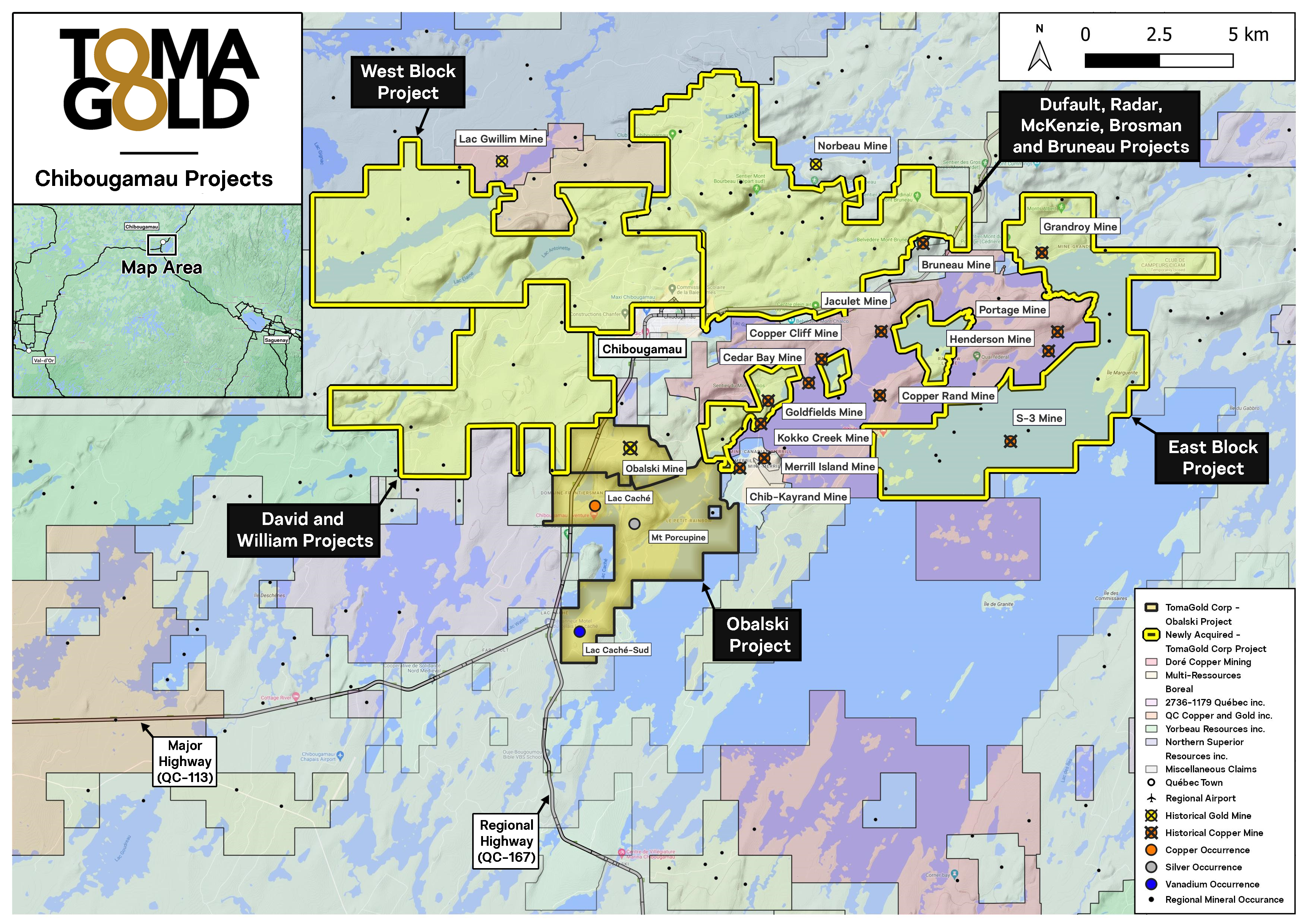
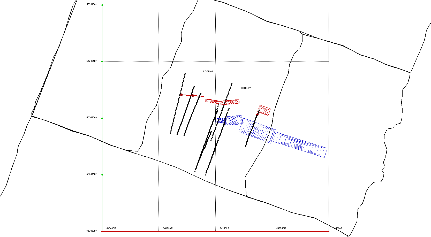
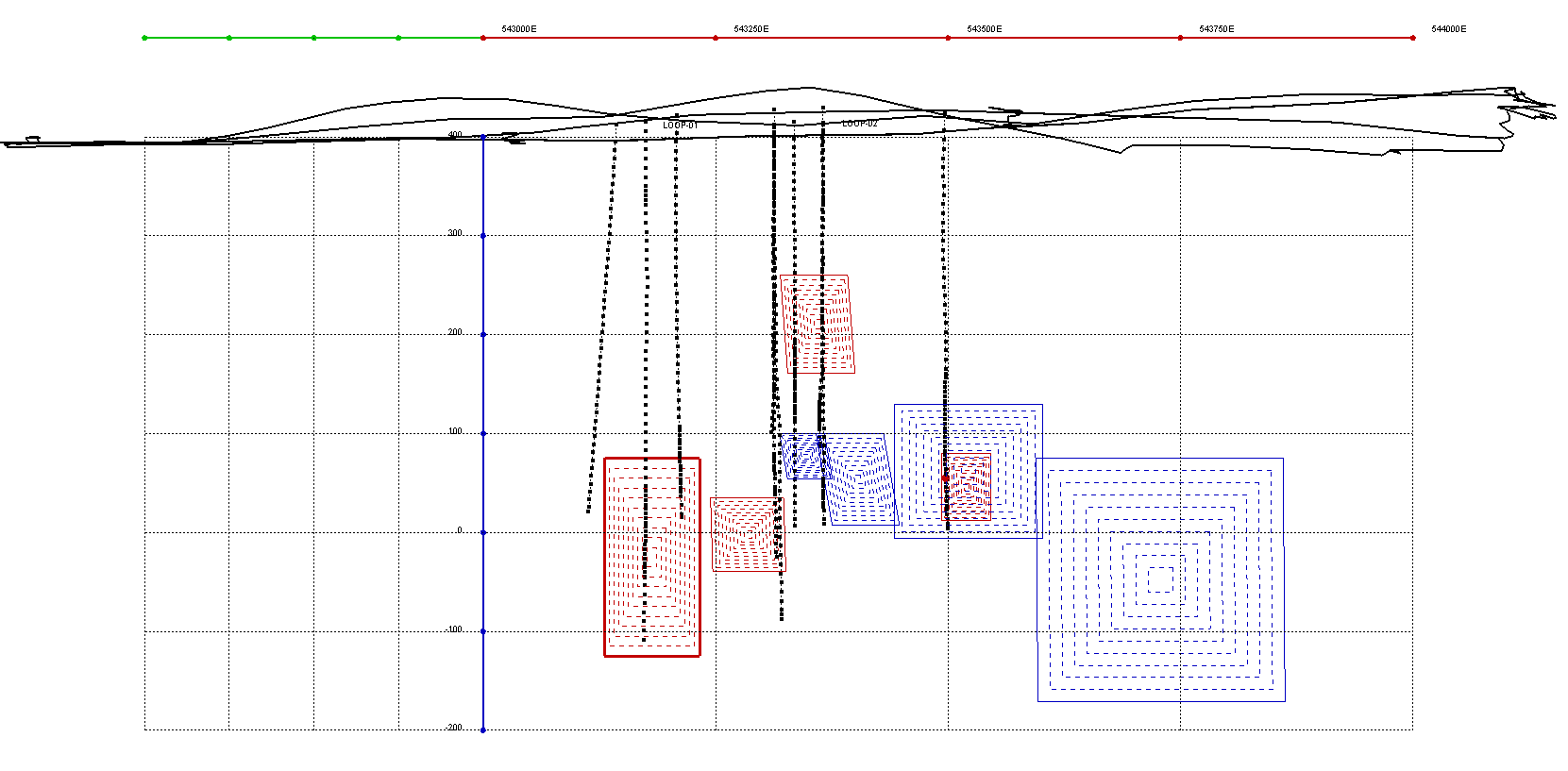
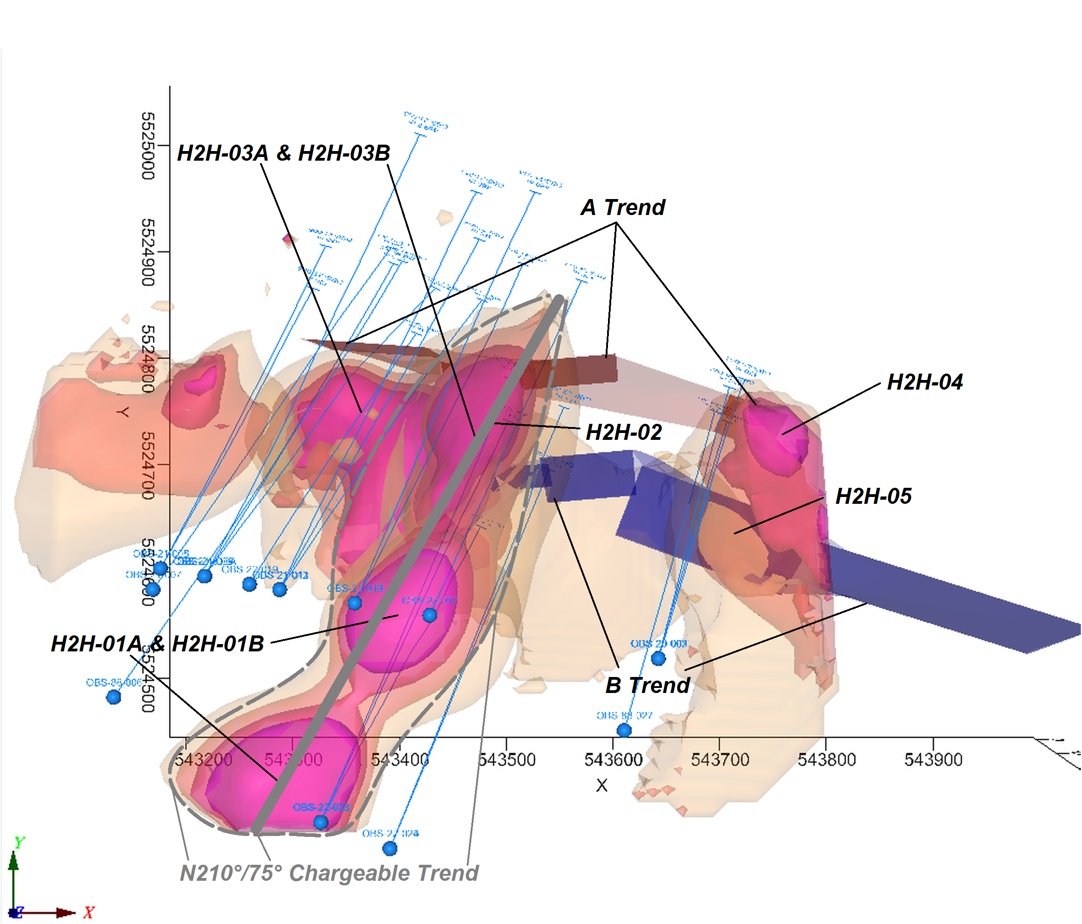
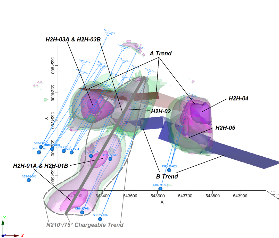
MAP OF PROJECTED ACQUISITIONS
TomaGold has received conditional approval from the TSX Venture Exchange for these transactions. The common shares to be issued in relation with the agreements are subject to a resale restriction period of four months and one day.
The technical content of this press release has been reviewed and approved by André Jean, P.Eng., the Corporation’s Director of Exploration and a qualified person under National Instrument 43-101. In conducting the review of twelve properties mentioned in this news release, the Qualified Person consulted and utilized various sources of information and data, including government publications, and historical reports and data provided to him by all the vendor, Chibougamau Independent Mines Inc. The Corporation has not verified all the technical data taken from these reports and sources but views the information as relevant and reliable. The Corporation plans to complete a full evaluation of all of the properties being acquired and prioritize exploration to follow up on significant historic results.
About TomaGold
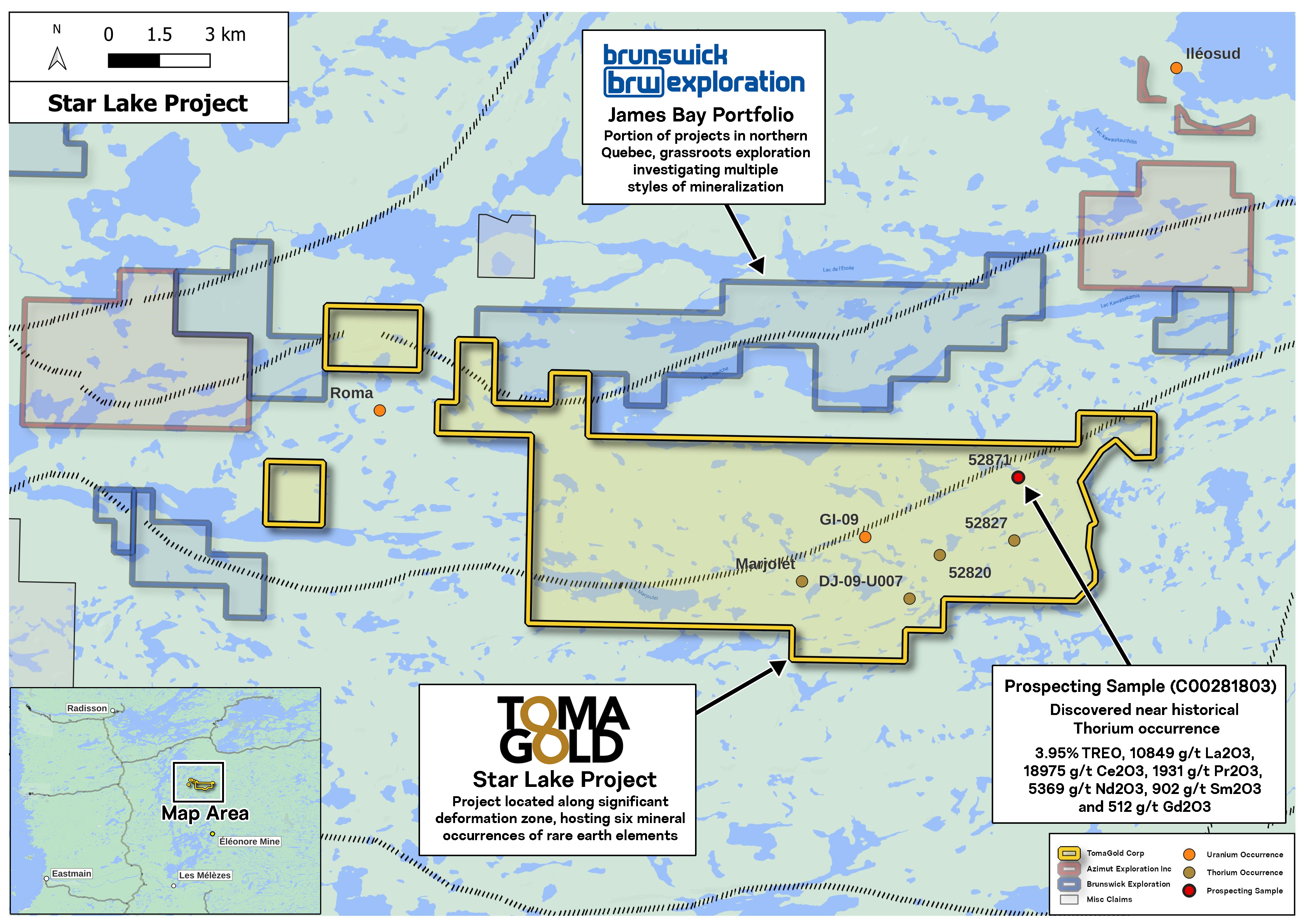
TomaGold Corporation (TSXV: LOT) (OTCQB: TOGOF) is a Canadian mineral exploration company engaged in the acquisition, assessment, exploration and development of gold, copper, rare earth elements and lithium projects. TomaGold holds interests in five gold properties near the Chibougamau mining camp in northern Quebec: Obalski, Monster Lake East, Monster Lake West, Hazeur and Doda Lake, as well as a 24.5% interest through a joint venture with Evolution Mining Ltd. and New Gold Inc. in the Baird property, located near the Red Lake mining camp in Ontario. In addition, it owns a 100% interest in a lithium property and in the Star Lake rare earth elements property, located in the James Bay region of Quebec.
Contact:
David Grondin
President and Chief Executive Officer
(514) 583-3490
www.tomagoldcorp.com
Neither the TSX Venture Exchange nor its regulation services provider (as that term is defined in the policies of the TSX Venture Exchange) accepts responsibility for the adequacy or accuracy of this news release. Some of the statements contained in this press release are forward-looking statements within the meaning of applicable securities laws. Forward-looking statements can be identified by the use of words such as “expects”, “intends”, “is expected”, “potential”, “suggests” or variations of such words and phrases or statements that certain actions, events or results “may”, “could”, “should”, “might” or “will” be taken, occur or be achieved. Forward-looking statements are not historical facts and are subject to a number of risks and uncertainties beyond the Corporation’s control. Readers are cautioned that such statements are not guarantees of future performance and that actual results and developments are likely to differ, and may differ materially, from those expressed or implied by the forward-looking statements contained in this press release. Accordingly, readers should not place undue reliance on forward-looking statements. The Corporation undertakes no obligation to publicly update or revise any forward-looking statements, except as required by law.